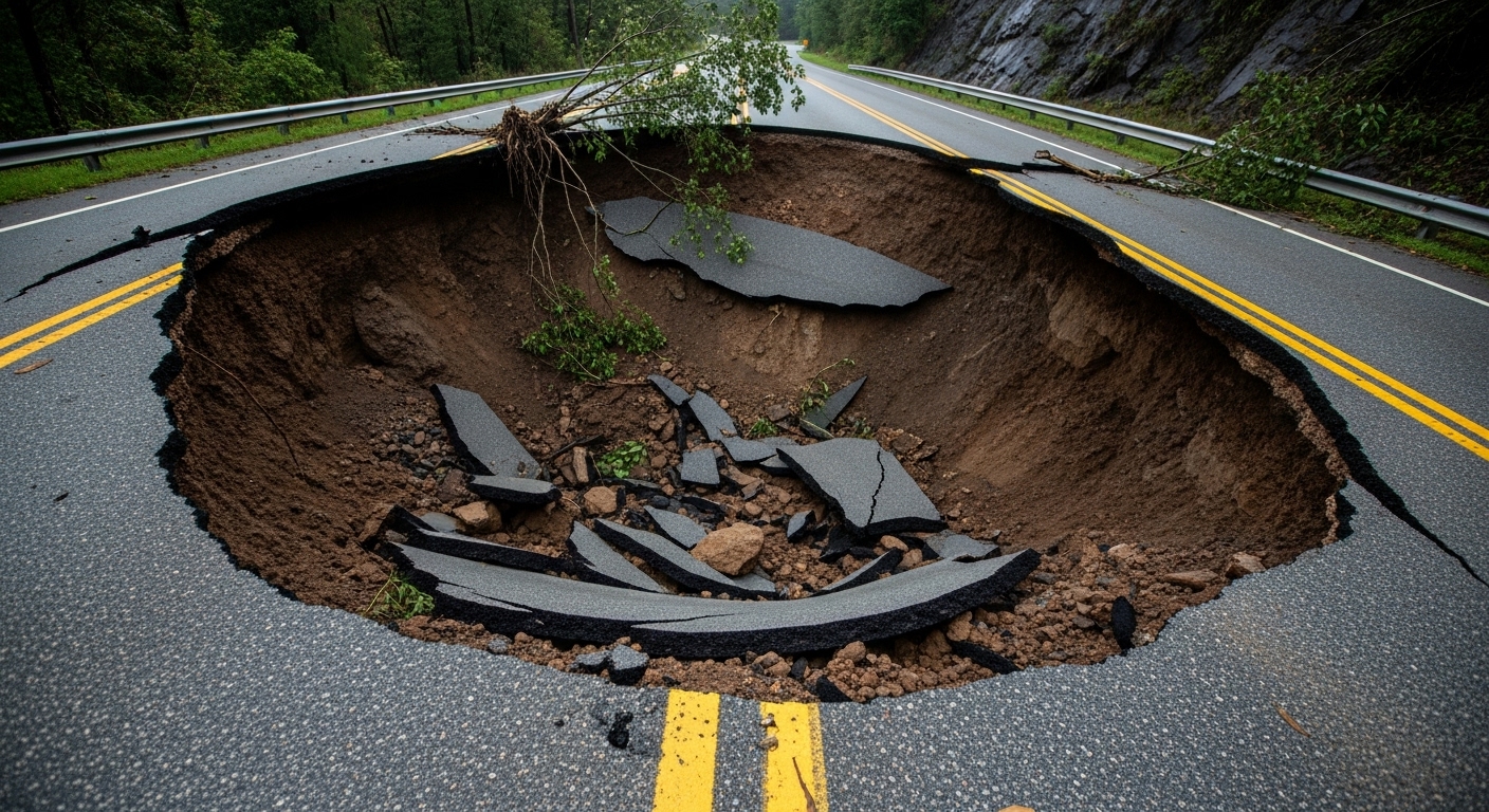
A sinkhole map is a map that visually indicates areas with a high risk of ground subsidence (sinkhole) in a specific area, and is a resource created so that citizens can identify risk areas at a glance. This map reflects various risk factors such as past sinkhole accident history, underground void (cavity) detection results, distribution of old water and sewage pipes, and status of large-scale underground construction.
Why is it necessary?
Recently, as sinkhole accidents have occurred one after another across the country, citizens’ anxiety has increased, and the government and some local governments are investigating risk areas and creating sinkhole maps. The sinkhole map is used for the following purposes:
• Accident prevention: Identify risk areas in advance to preemptively manage and maintain them
• Citizen safety: Residents and relevant parties can recognize the risk level and prepare for it
• Policy establishment: Used to establish safety measures for local governments and the government
Main contents and grades
• The risk of sinkholes is usually divided into 5 grades.
• Areas with many risk factors, such as old water pipes, sewer pipes, and underground construction, are classified as high-risk areas.
• In the past, areas with many underground facilities and large cities such as Seoul, Incheon, and Busan were considered high-risk.
Disclosure status and changes
• Some local governments have kept their land subsidence maps private due to concerns about falling housing prices, but the government recently decided to disclose the results of ground surveys and risk maps nationwide online to ease public anxiety.
• Starting in June 2025, the status of ground subsidence accidents, the results of high-risk area surveys, and the status of restoration will be disclosed to the public in map form.
• Some local governments, such as Seoul, have already completed their maps, but some have not yet disclosed them to the public.
Where can I check them?
• You can check the land subsidence risk maps on the National Land Safety Management Institute, each local government disaster portal, and public data portal.
• Once the government officially starts online disclosure, anyone can easily check the risk level of their residence or area of interest through the Internet.
Reference
• A sinkhole is a phenomenon in which an empty space (cavity) is created underground and the ground surface sinks as it collapses.
• The main causes of large-scale ground subsidence in the past five years are analyzed to be poor excavation work and old sewage pipes.
• Accidents tend to occur most frequently in August, June, and July.
Summary:
The sinkhole map is a visual representation of areas at risk of ground subsidence, produced and disclosed by the government and local governments. This will play an important role in ensuring citizen safety, preventing accidents, and establishing policies.
'노벨리스트' 카테고리의 다른 글
| How to Convert MP4 Files to JPG Files (0) | 2025.07.15 |
|---|---|
| The Chronicles of Rats: Hope Blooming in Despair (0) | 2025.07.15 |
| Carbon Transportation Card (0) | 2025.07.15 |
| The Foolish Old Man Moves Mountains (0) | 2025.07.15 |
| The Tale of the Ox and the Lazy Farmer (0) | 2025.07.15 |


